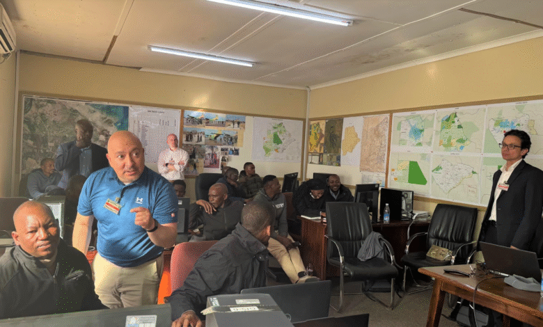
On June 13, 2025, the US Embassy in Gaborone announced a $5 million donation of high-resolution 3D geospatial data to Botswana. The result of collaboration between AFRICOM, Botswana’s Civil Aviation Authority, and military intelligence, this mapping covers 100,000 km² with unprecedented precision. The data will enhance urban planning, research, and especially disaster preparedness after heavy floods hit the country in February. A simulated Gaborone dam break is being modeled to anticipate risks. According to Colonel Mark Whiteman, the initiative shows the US commitment to a safer, more resilient Botswana.